
offical exhibitor to slope stability x26
Enabling miners to make better decisions
Solutions across every mining stage — from exploration to operations — with a specialised focus on slope stability, risk visibility, and performance optimisation.
about
Enabling miners to make better decisions
Maptek is changing the way mining is done by enabling miners to make better, safer decisions through integrated decision support solutions. Integration is particularly important for helping customers to turn data into knowledge across the mining life cycle. Maptek delivers solutions and services by living our principles every day.
Our laser-based monitoring solutions allow mines to customise frequency and movement thresholds to meet design and planning needs for safe operations.
exhibitor
Enabling miners to make better decisions
Solutions across every mining stage — from exploration to operations — with a specialised focus on slope stability, risk visibility, and performance optimisation.
ceo message
Your trusted partner in Mining
“Maptek solutions have been trusted by mining companies for more than 45 years.
Maptek’s slope deformation monitoring solutions capture high resolution data to improve confidence in detection and predictions. The same data can be used in parallel for structural mapping, bench and wall compliance reporting, survey reconciliation and more.
Our team of technical specialists look forward to discussing with you how we can support your operation.”
meet us
Maptek Representatives at SSX26

Ayanda Njotini – Solution Specialist – Mine Measurement, South Africa
Ayanda is an experienced mining technology specialist with over a decade in mine measurement, survey, and slope monitoring solutions. Currently a Solution Specialist at Maptek, driving 3D scanning, software adoption, and customer success.
Proven in sales, business development, and technical consulting —Ayanda will be available at Slope Stability X26 conference and expo to discuss how you can enable safer, data-driven mining operations through advanced measurement and digital solutions.
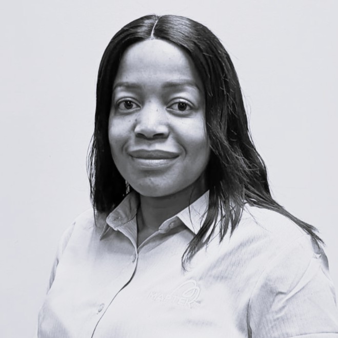
Todani Funyufunyu(Pr.Sci.Nat)(MGSSA)
Todani is a results-driven Geologist with over a decade of experience across exploration, resource evaluation, and production geology.
She brings a broad portfolio of technical consulting expertise to the Maptek showcase, combining strong business development expertise to deliver data-driven geoscience solutions, support strategic decision-making, and drive value across mining operations and client portfolios.
SOLUTIONS
What We Do
At Maptek, we deliver for our customers across the full mining life cycle, with expertise in:
Maptek™ Sentry combines a Maptek laser scanner with sophisticated software to monitor and analyse movement over time.
Sentry is available as a fully transportable monitoring system deployed in a custom built trailer. It offers a power and communications module, cellular and Wi-Fi networking, a dedicated stable bollard for a Maptek laser scanner, and Sentry software. Sentry is quick and simple to set up and operate, allowing site personnel to capture and analyse accurate 3D data to avoid incidents that have the potential to interrupt operations.
A dedicated cold climate monitoring system, which includes redesigned internal components and XR3 laser scanner, allows for continuous monitoring down to -40ºC.
Identify movement – Generate and animate zones to show movement over time. Intuitive visualisation helps identify trends. Integrated smoothing tools reveal rates of movement as fine as 1mm per day.
Analyse failures – Analyse the mechanics of wall failures with greater fidelity than other systems. Capture and maintain a continuous monitoring history.
Analyse rock falls – Record rockfalls and easily view the points of origin and landing. Export data to PointStudio for further analysis including volume calculation. Use this information to update rockfall databases for reducing risk in the vicinity of highwall toes.
Versatile system – Laser-based system handles all survey and monitoring tasks. Choose periodic, wide-area monitoring for determining zones to watch more closely. Continuous monitoring where conditions pose the greatest risk provides real-time accurate data to guide safety programs.
articles
Maptek’s Insights
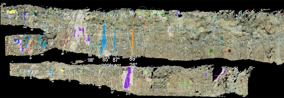
Discover Greater Control of Slope Stability Risk
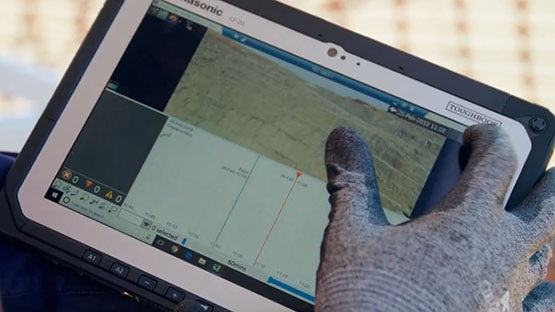
Your Slope Stability Monitoring can Transform your Safety Outcomes
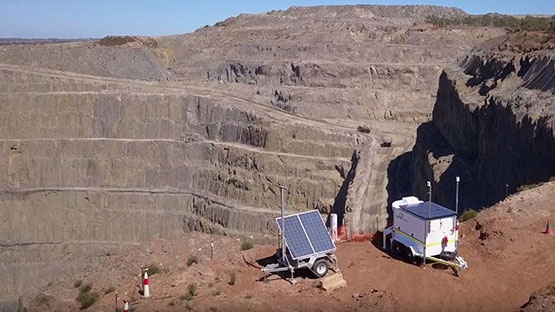
A Decade Ahead in Limiting risk and maximising safety
Supporting faster, more informed decision-making in slope stability risk management has never been more important in this era of open-pit gold mining.
Maptek Sentry makes continuous, high-precision tracking of ground movement in active mining environments accessible, enabling real-time visibility of geotechnical risk across mining operations.
Engineered for both ongoing and event-based monitoring, Sentry captures critical indicators such as displacement, velocity, and movement trends, allowing you to identify emerging instability earlier, assess evolving conditions and minimise risks to personnel and equipment.